Aveiro
Portugal
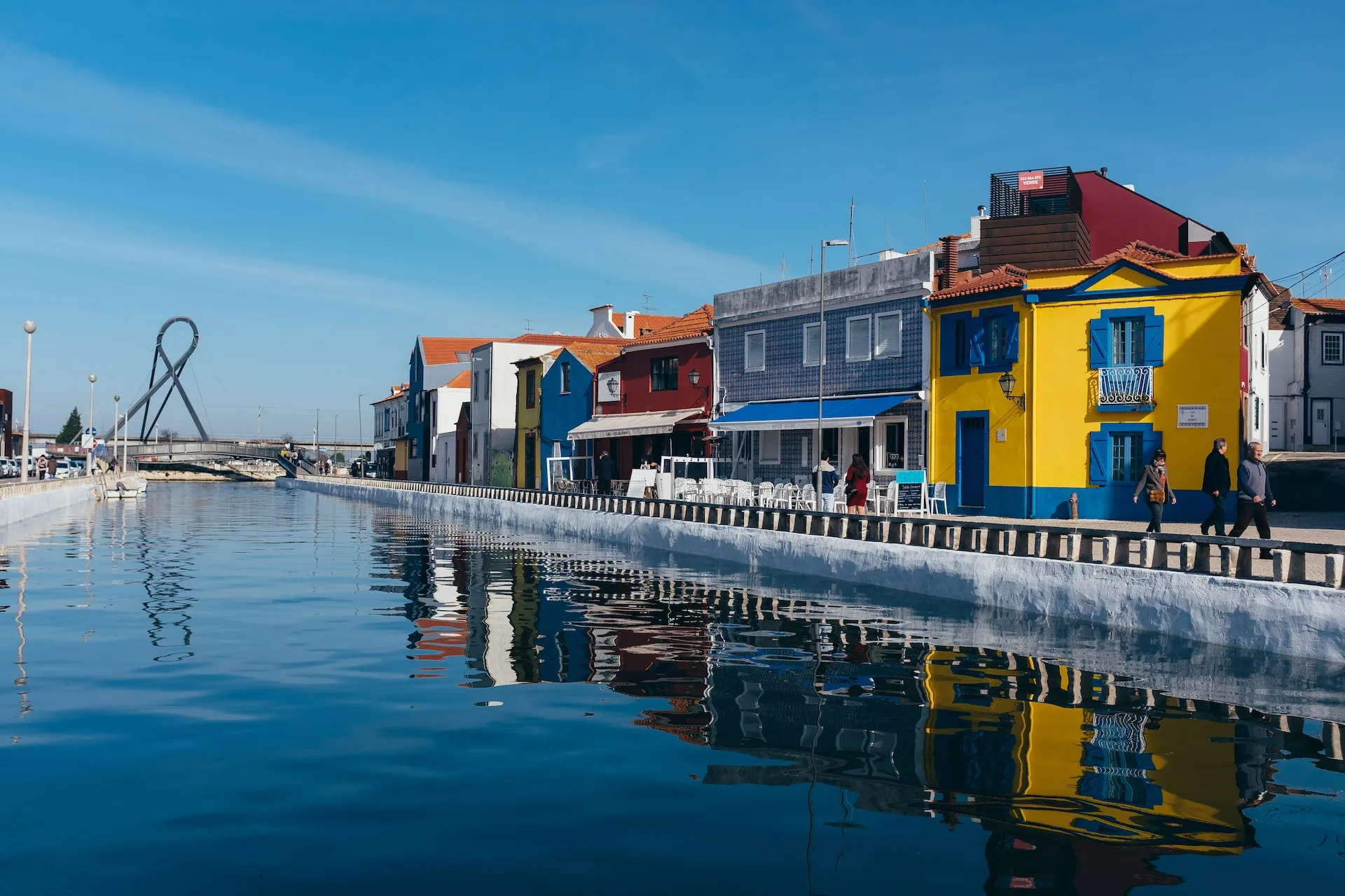
Aveiro, Portugal, often faces flood risks arising from oceanic storms and high tides. It also suffers from rain flooding through rivers to the lagoon.
The canal-crossed city has a history of manual flood management and is addressing gaps in community awareness. The city lab focuses on the immediate area around Aveiro to develop understanding of the main freshwater basin that feeds the urban canals, which cross the city centre. Through locally rooted co-creation processes, diverse nature-based solutions are designed and evaluated collaboratively with the communities. The blue and green infrastructure will address a range of purposes, including recreation, bicycle and pedestrian routes, biodiversity preservation, and their contributions to climate action and resilience.
Sections

The Aveiro case study focuses on one of the main water inputs into the urban canals and surrounding area. Various NBS are designed and evaluated to accommodate different uses, such as daily routes in gentle mobility and recreational spaces, while promoting biodiversity and highlighting their role in climate action and resilience. NBS are planned and quantified to renaturalize center-periphery connections, aiming to maximize global social gains and benefits.
Historical content
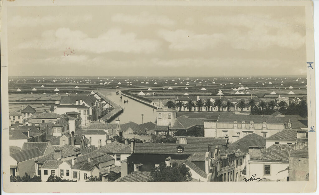
Aveiro’s historical events are deeply connected to its unique natural environment, especially its coastal and lagoon ecosystem, the Ria of Aveiro.
First Documented mention to Aveiro
Countess Mumadona Dias will (…) lands ‘in Alauario et Salinas’
Formation of the Ria de Aveiro
Salt Production, fishing industry and Maritime Trade
City walls
Economic development
Economic decline
Ria closed off from the sea
Due to silting
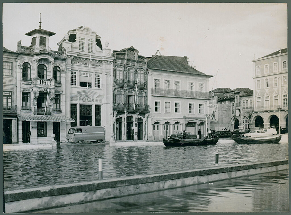
Canals and urban development
Canals not only supported transportation and commerce but also shaped the city’s architectural development and aesthetic
Aveiro’s Barra opens
Restores access to the sea
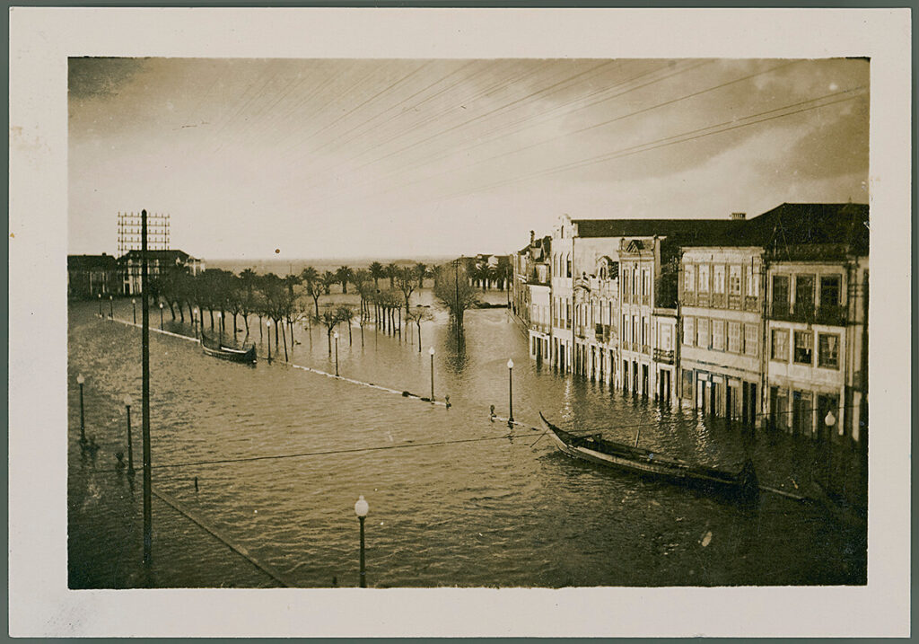
Recurrent floods
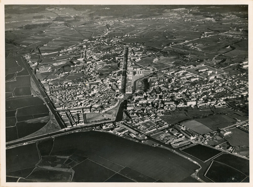
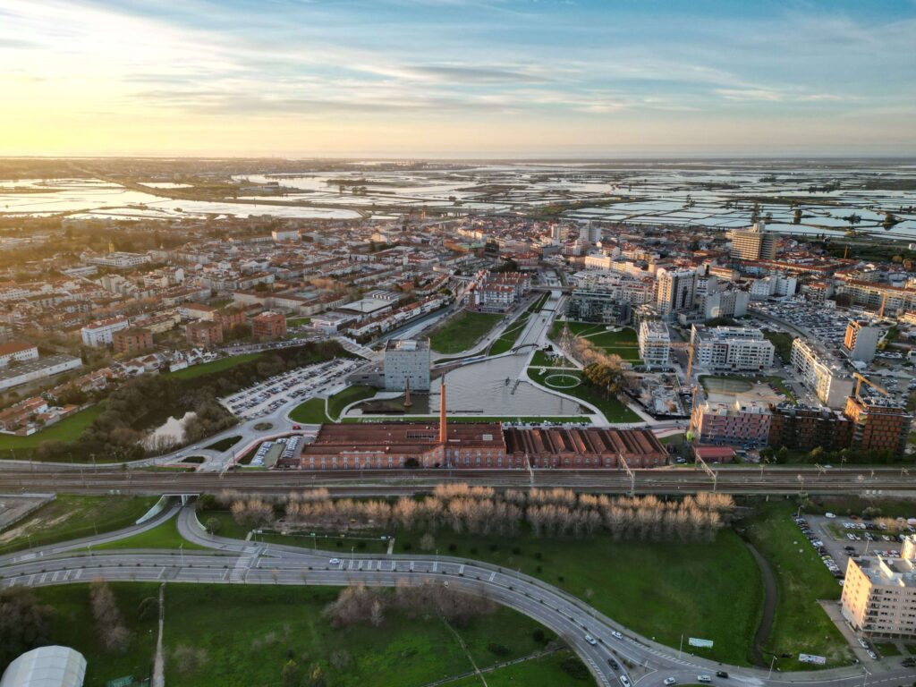
Urban growth and sprawl
Transportation infrastructure improvements, increased mobility (car ownership), shift from a primarily rural to an urban economy. Urban growth and expansion into peri-urban and rural areas
Hydraulic lockgate system
Construction of a hydraulic system with five lockgates and a sluice
Creation of the university of Aveiro
Community involvement

One of the key points of this project is prioritizing people and communities, sharing the journey towards finding solutions. For this reason, social engagement is crucial as it facilitates access to information and fosters mutual trust regarding the goals to be achieved, the data to be collected, and the solutions to be implemented. This engagement is carried out using various methods, including conversations with the community, interviews, surveys, and participatory sessions where people are invited to take an active role in proposing changes that will have a positive impact on everyone’s quality of life.
Interviews
Interviews conducted with local inhabitants and other stakeholders are an excellent way to begin fieldwork and foster community engagement. They create the right conditions to meet people, listen to their experiences and narratives about the place, share past knowledge, discuss future aspirations, and build the trust essential for project development. Giving voice to people , they act as sources of interaction, fostering mutual understanding and collaboration that are crucial for the success of the initiative.
Summer School
As part of the objective to present the project to the community, communicate scientific information about nature-based solutions and sustainability, and engage the community in the upcoming phases of the project, a Summer School was held from June 3 to 10 at EcoAventura in Aveiro. This event was one of the partner events of the EU Green Week 2024 and focused on water resilience and nature-based solutions.
The Summer School provided a diverse array of activities catering to all audiences, such as showrooms, webinars, masterclasses, round tables, LEGO sessions, games, and much more, which drew in a wide range of guests and experts. This dynamic event not only helped foster community engagement but also offered a unique platform to practice science communication. Connecting with professionals from related fields, participants gained valuable insights, expanded their networks, and enhanced their understanding of cutting-edge developments.
The Summer School was an exceptional opportunity for learning, collaboration, and bridging the gap between science and society.
Survey
This questionnaire was developed within the scope of the NBSINFRA project. Its aim was to gather information about the knowledge and perception of the residents of Aveiro regarding the environmental and social challenges the city faces. The goal was to engage the population in identifying priority intervention areas, promote awareness about Nature-Based Solutions (NBS), and collect suggestions to improve Aveiro’s preparedness and resilience in the face of these challenges.
The questions in the final section refer to the NBSINFRA project study area – Ribeira de Vilar. The results obtained supported the planning and implementation of solutions that address the needs and expectations of the population.
Technical studies: results from the team
The categorization and diagnosis of the case study involved several key analyses, which provided a comprehensive understanding of the watershed’s dynamics, forming the foundation for developing NBS.
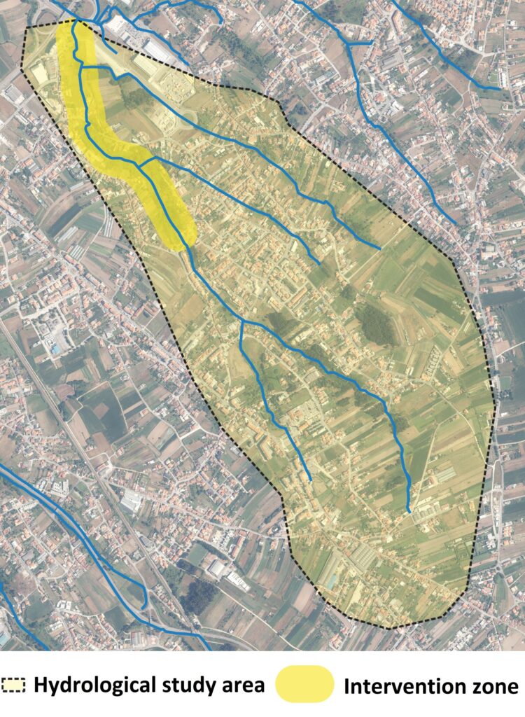
Hydraulic definition
This process mapped the watershed’s boundaries, main and secondary watercourses, and urbanized areas along the riverbanks. Cartographic and land use analysis identified key structures and areas needing intervention.
Rainfall Analysis and Land Use
The rainfall analysis examined precipitation data and watershed permeability. Since 2001, the highest recorded rainfall was equivalent to 36 Olympic-sized pools in an hour. Land use trends over the past decade show significant urbanization, reducing agricultural areas and increasing impermeability, which affects water flow and heightens flood risks.
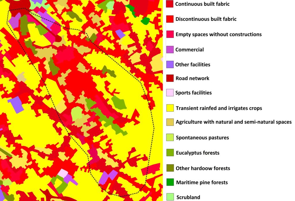
The watershed morphology was analyzed using topographic surveys and digital terrain modelling. The study revealed variations in riverbank positions over time, channel modifications, and bank erosion. The longitudinal profile showed areas of higher flow velocity and increased flood risk, particularly in flatter sections downstream.
Flood Flow Estimation
Hydrological modelling with HEC-HMS simulated basin behaviour using meteorological and geographical data. Statistical kinematic methods estimated flood flows of 18.2 m³/s for a 10-year return period and 28.6 m³/s for a 100-year return period. Additional topographic surveys improved model accuracy, refining watershed representation and enhancing flood predictions.
Hazards analysis
The study area faces multiple hazards, some of which were increased due to altered flow patterns, upstream channelization, and failed stabilization efforts. Multiple hazards such as flooding risks, poor water quality, riverbank erosion, landside risks, species mapping, ecosystem degradation and deforestation.
Interactive maps: results from the community
In the previous activity (Shaping Our Urban Resilience Futures), stakeholders were invited to take part in designing the city’s resilient future by engaging with the Cartospot tool. This interactive Platform displayed the case study map and allowed participants to share their perspectives on key issues, such as environmental, social, infrastructure, and economic challenges, as well as to highlight potential opportunities related to these themes. Each contribution was marked with a pinpoint on the map, indicating the area of interest, and color-coded according to the thematic category. This activity played a crucial role in ensuring that participants’ insights and ideas were integrated into the final design of the solution. Moreover, the results served as a valuable input for the subsequent co-creation workshops.
Cartspot results:
Co-creation workshops
The co-creation workshops represented the stage where all previous work was brought together and materialised. At this point, stakeholders were once again invited, this time in a face-to-face setting, to collaborate on the development of the final solution. Organised by the GeoDesign team, the workshops aimed to reach a final design that reflected the perspectives of all participants, ensuring that the proposed solution was the result of collective agreement and negotiation.
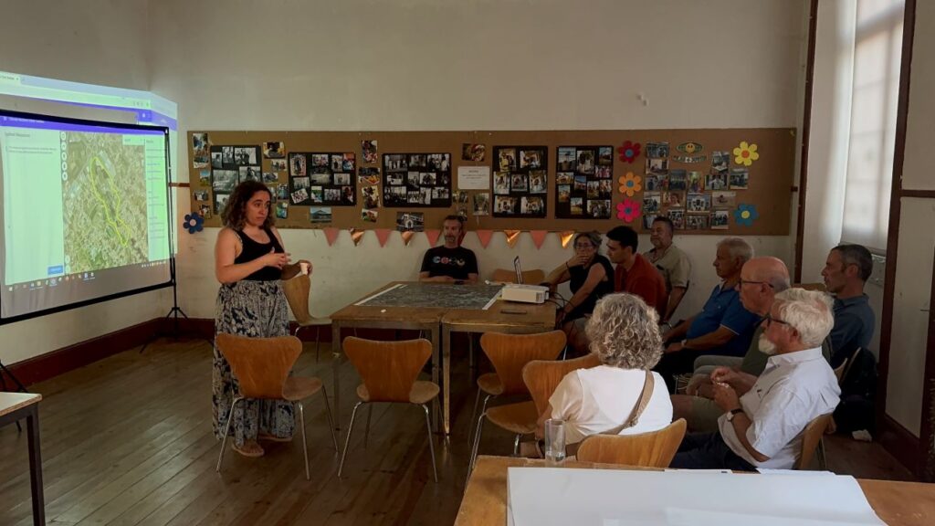
The workshops spanned two days. The participants began by reviewing and discussing the issues previously identified through the Cartospot tool. The ideas initially represented as pinpoints on the map were translated into more complex spatial elements, such as lines (e.g., potential roads) or polygons (e.g., green areas, urban areas, private or public property). These were displayed on the Geodesignhub platform, where participants were asked to accept, reject, or refine the proposals originally submitted, aligning them with their collective insights.
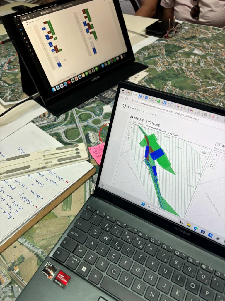
Participants were divided into four groups, each tasked with developing potential solutions to be considered in the final design. Every group was supported by a facilitator, who guided discussions and assisted participants in navigating the Geodesignhub platform. Working independently, the groups produced unique sets of designs for the target area. In total, 42 distinct policies and projects were created and recorded in Geodesignhub.
The outputs of this initial group work served as the foundation for the second day, which centred on negotiation. In this session, participants compared, debated, and reconciled their ideas to progress towards a shared strategy. Building on this, the following stage focused on coalition-building. Participants formed two new groups, each uniting members with overlapping interests but also differing priorities. Through this process, they worked to negotiate differences and align perspectives. By the conclusion of the workshops, two consolidated and negotiated strategies had emerged for the same target area, each offering a distinct, collectively developed set of proposals.
The next stage of the project is to integrate these results into the final solution, ensuring that both the technical perspective and the stakeholders’ views are taken into account. This will help guarantee that the final solution is as inclusive and representative as possible.
Shaping Our Urban Resilience Futures

Funded by
the European Union